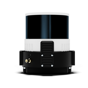
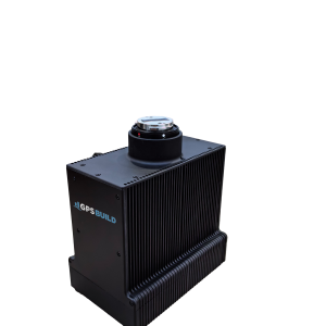
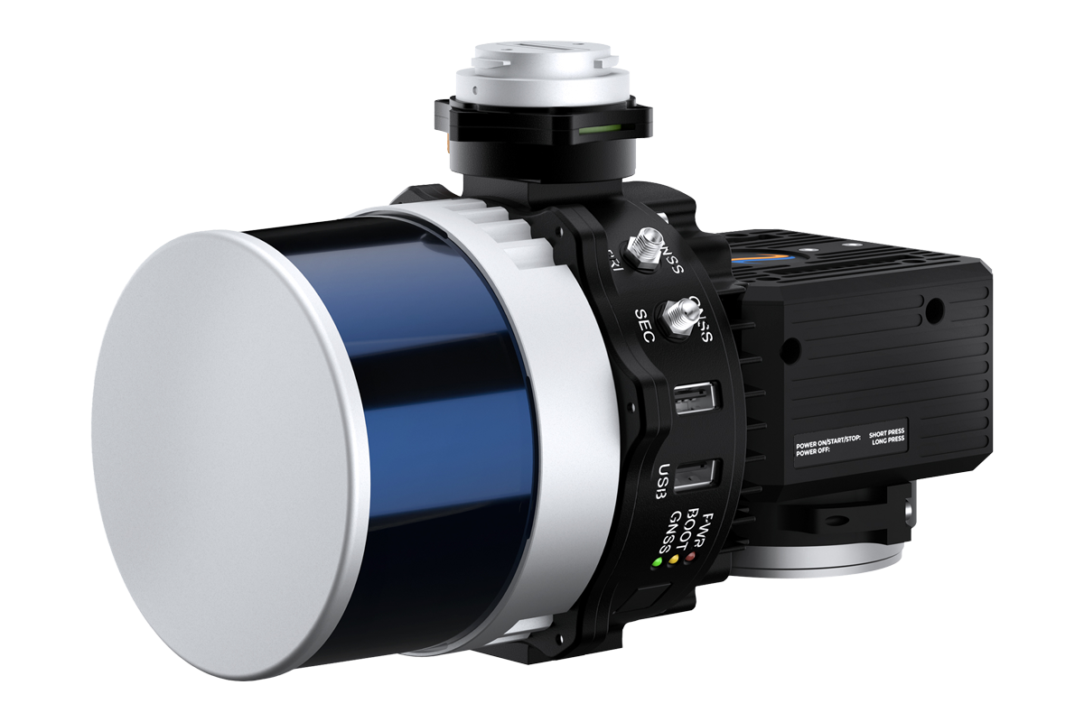
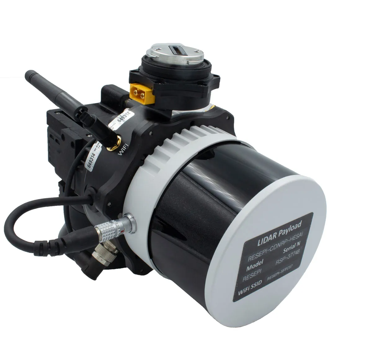
IntertialLabs RESEPI Hesai XT-32

  • Compact light weight LiDAR
  • 360FOV view from the laser
  • 33 minute flight time
  • Colored Pointcloud

A LiDAR payload made to operate with the WISPR Ranger Pro

Drone Compatibility

  • M350
  • Ranger Pro

Description

Compact and light-weight, the RESEPI Hesai XT-32 drone LiDAR payload from Inertial Labs features Hesai’s XT-32 LiDAR scanner, and offers the benefits of best-in-class data accuracy, good detection range, high point density, and versatility.

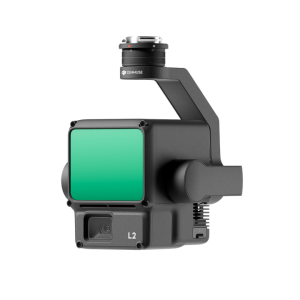
RESEPI™ (Remote Sensing Payload Instrument) is a sensor-fusion platform designed for accuracy-focused remote sensing applications. RESEPI utilizes a high-performance Inertial Labs INS (GPS-Aided Inertial Navigation System) with a tactical-grade IMU and a high-accuracy single or dual-antenna GNSS receiver, integrated with a Linux-based processing core and data-logging software. The platform also provides a WiFi interface, optional imaging module, and external cellular modem for RTCM corrections. RESEPI can be operated by a single hardware button or from a wirelessly connected device via a simple web interface.

Additional information

Specifications

System
System Vertical Accuracy: 2 – 3 cm
Precision: 2 – 4 cm
Precision (1σ Noise Removal): 1.5 – 2.5 cm
Recommended AGL: Up to 100 m
Weight: 1.7 kg (with camera), 1.3 kg (without camera)
Dimensions: 20.8 x 17 x 14.2 cm
Max Flight Time: 33 minutes (DJI M300)
External Storage: 256 GB USB Included
System Computer: Quad Core, 1GB RAM, 8GB eMMC
Operational Voltage Range: 9-45V
Power Consumption: 17W
LiDAR
Laser Range Capabilities: 80m @ 10% ref. (c9-24);
50m @ 10% ref. (c1-8, 25-32);
0.05 to 120m
Range Accuracy: +/- 1 cm
FOV (Horizontal): 360°
FOV (Vertical): 31°
Scan Angle (Vertical): 16° to 15°
Beam Divergence: 0.04° (H), 0.098° (V)
Number of Lasers: 32
Number of Returns: 2
Pulse Rate: 640k/s (single return);
1280k/s (dual return)
Camera
Model: 24MP RGB Mapping Camera
Lens: Sony E-Mount 16mm, 70° FOV
Max Trigger Rate: 2 seconds
External Camera Support: Yes