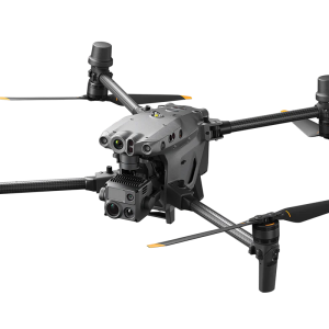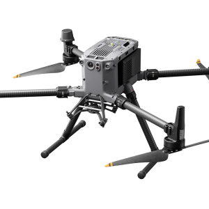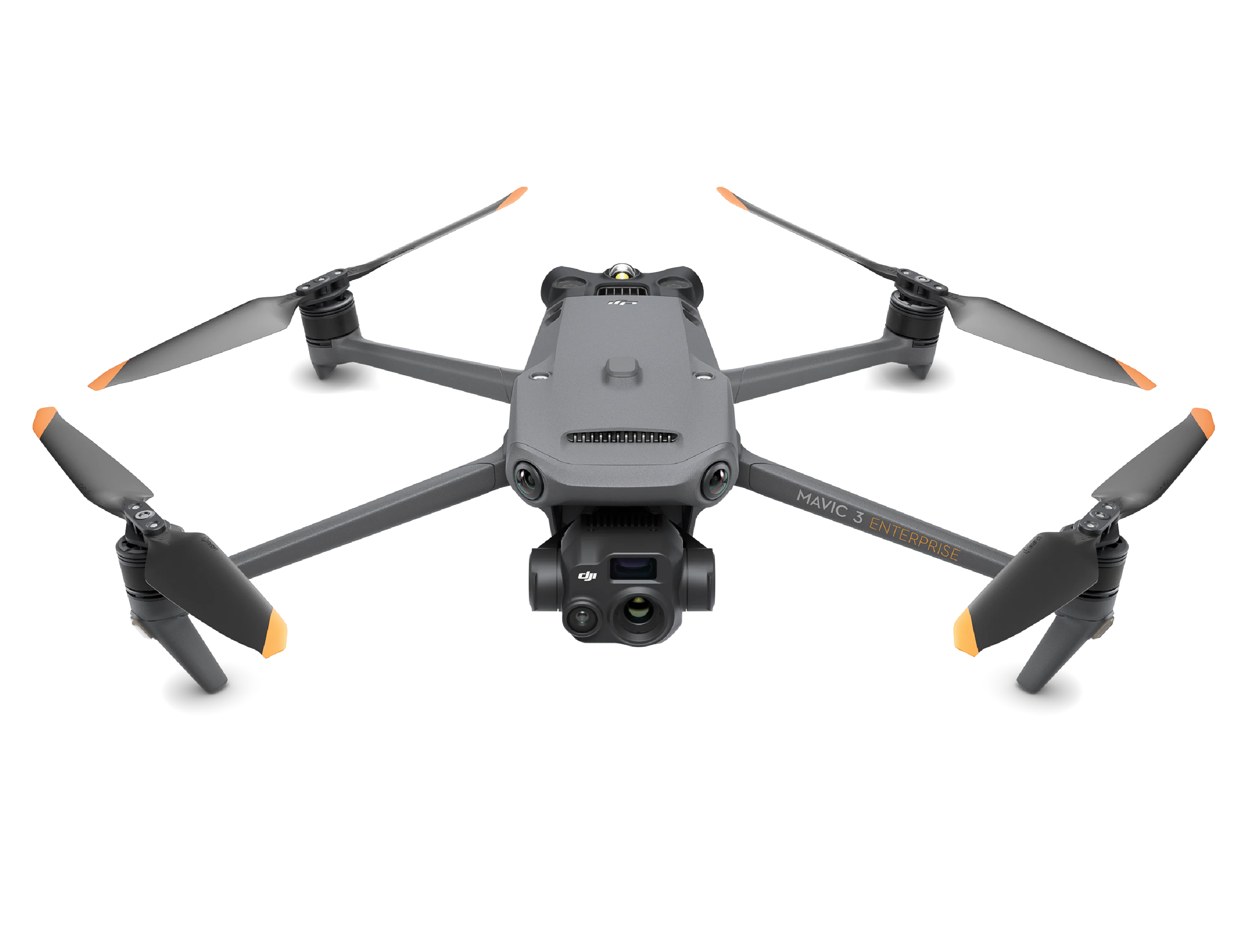
Description
Thermal Imaging Excellence
Capture detailed thermal data with the high-resolution thermal camera, ideal for identifying hotspots, assessing infrastructure, and guiding rescue operations.
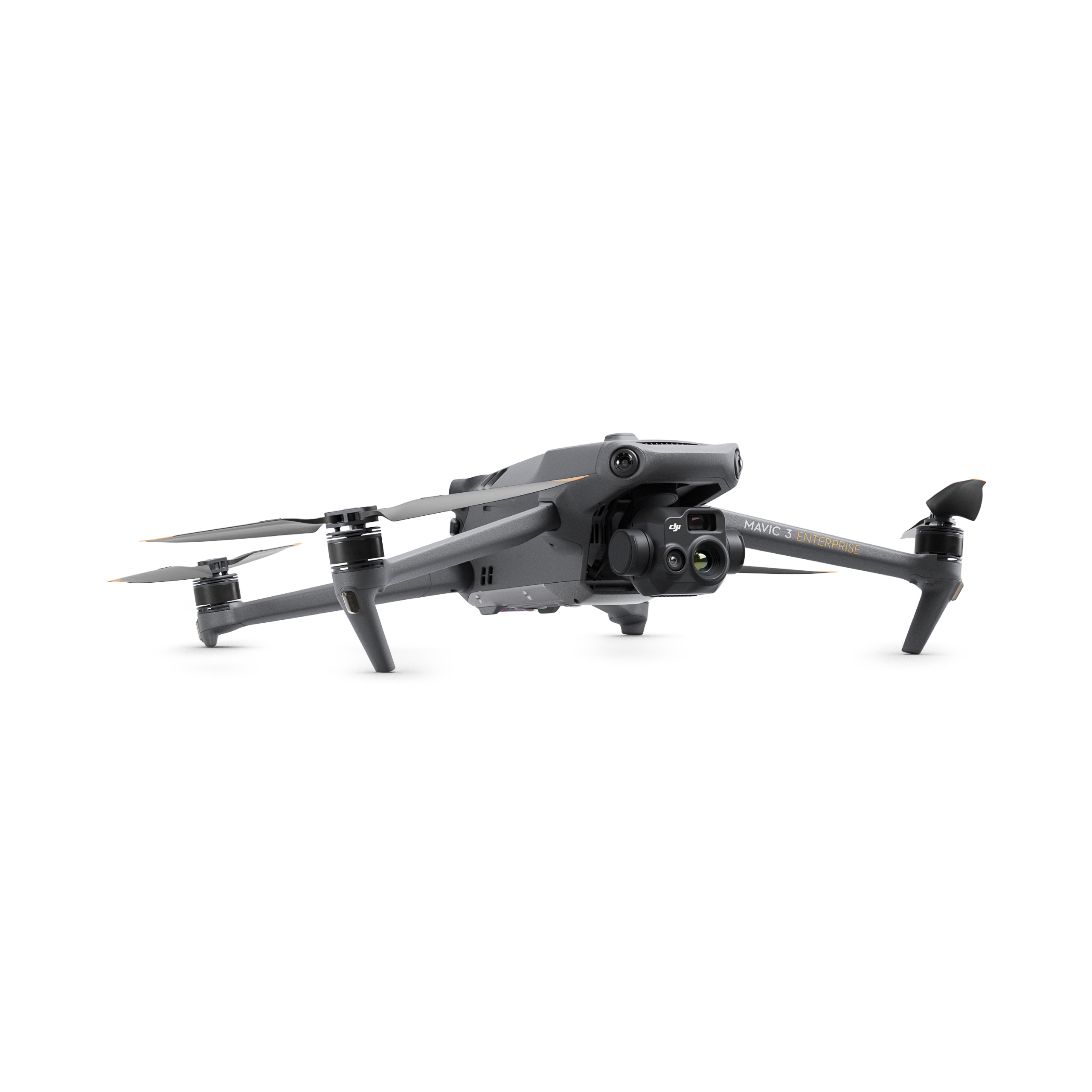
Dual-Camera System
Features a 4/3 CMOS 20MP wide camera and a 1/2″ CMOS 12MP telephoto camera with 56x hybrid zoom for clear, detailed images from afar.
Extended Flight Time
Up to 45 minutes of flight time ensures comprehensive coverage and efficient mission completion.
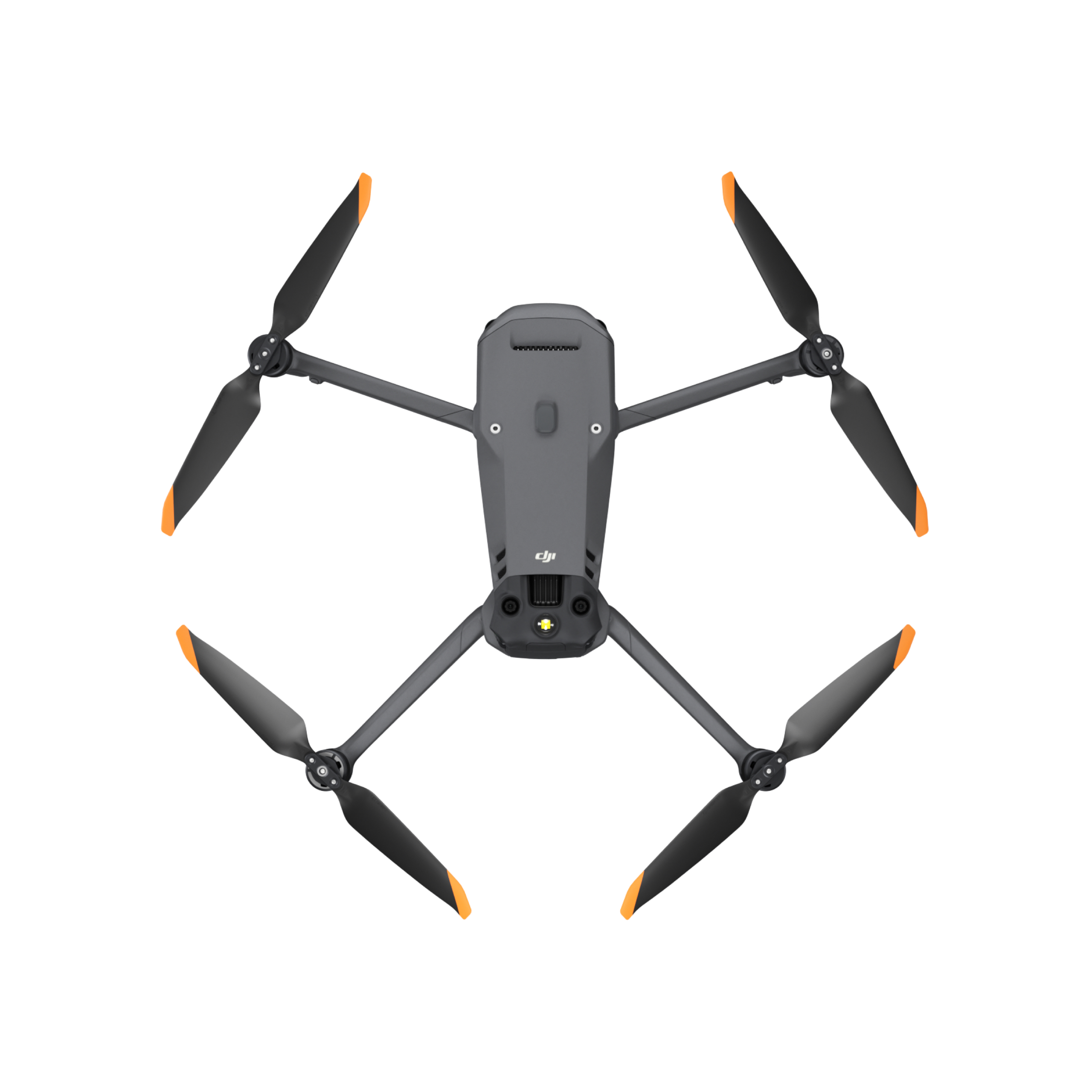
Omnidirectional Obstacle Sensing
Navigate safely with advanced obstacle detection in all directions, ensuring your drone avoids collisions.
RTK Precision
Achieve centimeter-level accuracy with the optional RTK module, perfect for precise mapping and surveying.
Secure Data Transmission
Protect your mission data with AES-256 encryption, ensuring confidentiality and integrity.
Versatile Applications:
Firefighting
Quickly locate and assess fire hotspots to plan effective firefighting strategies.
Search and Rescue
Use thermal imaging to find missing persons in challenging environments.
Infrastructure Inspection
Conduct detailed inspections of critical infrastructure, such as power lines and solar panels.
Agriculture
Monitor crop health and optimize irrigation using thermal data.