Description
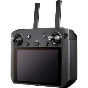
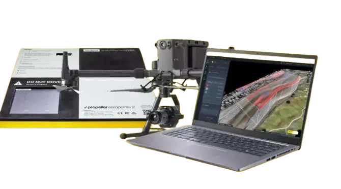
Propeller Aero, the drone data visualization and analytics platform, and DJI, the global leader in civilian drones and aerial imaging technology, today expand their partnership to include compatibility of Propeller’s site surveying and 3D mapping software with DJI’s Matrice 300 RTK drone (M300) and Zenmuse P1 sensor (P1).
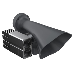
Propeller’s data processing platform is uniquely designed for site surveying and 3D mapping for the construction and earthworks industries. When combined with DJI’s advanced M300 drone, which features a refined propulsion system and longer flight time, the solution can rapidly and precisely map hundreds of acres accurately within 3 cm or 1/10 of a foot, making it ideal for surveying medium to large scale worksites such as highways, industrial complexes, and mines. The Zenmuse P1 is DJI’s newest flagship sensor, designed specifically for photogrammetry missions. Integrating a full-frame sensor on a 3-axis, stabilized gimbal, it substantially increases efficiency and accuracy for surveying and mapping applications.