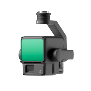
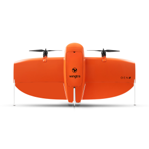
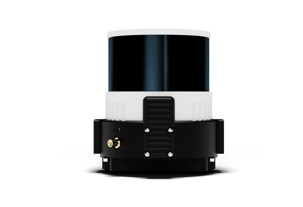
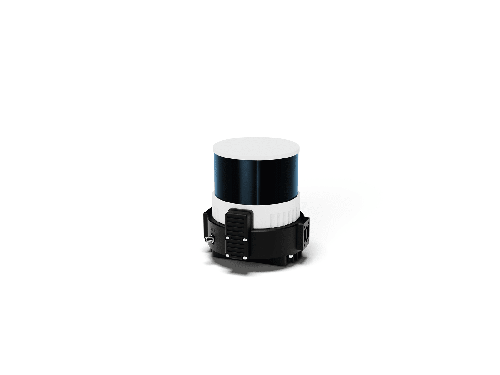
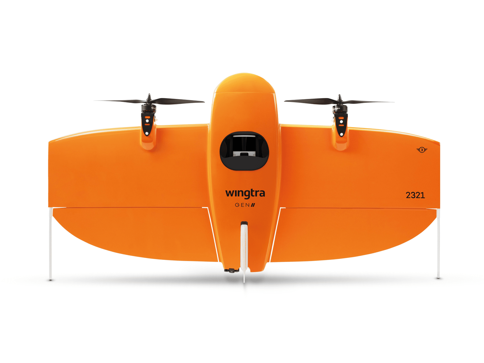
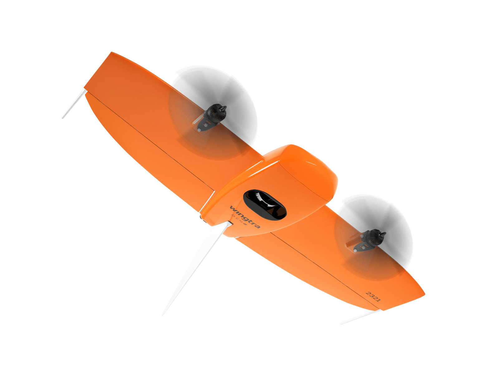
Wingtra LiDAR

  • Up to 890 acres coverage
  • Multiple point return options
  • Accuracy down to 3cm

The all new LiDAR payload for the WingtraOne Gen II

Drone Compatibility:

  • Wingtra

Description

Wingtra LIDAR sets new standards in aerial mapping. Its high-performance LiDAR sensor seamlessly into Wingtra’s already acclaimed WingtraOne drone. This powerful combination boasts:

  • Exceptional accuracy: Capture data with 3 cm (1.2 in) vertical accuracy verified by lead customers, making it top-of-the-range.
  • Effortless operation: The fully integrated system simplifies LiDAR data collection, making it accessible to professionals of all levels.
  • Unmatched efficiency: Cover vast areas with longer flight times and wider swaths, reducing overall project time and cost.
  • Rugged and reliable: The proven WingtraOne platform ensures reliable operation even in challenging conditions.

Additional information

Specifications

Best for: Greenfield surveys, ground reconstruction and below vegetation
Main quality features: Map terrain below vegetation
Laser scanner: Hesai XT32M2X
Inertial measurement unit: Inertial Labs Tactical-Grade IMU-P
GNSS system: NovAtel OEM7500
Effective point density in deliverable at 90 m
AGL with 50% side overlap: Hard surface: ~110 pts/m2 (single return)
Low vegetation: up to 220 pts/m2 (dual return)
High vegetation: up to 330 pts/m2 (triple return)
Maximum coverage at 90 m (300 ft)
Up to 360 ha (890 ac) with 30% side overlap
Vertical absolute accuracy at 90m (RMS)
Down to 3 cm (1.2 in)