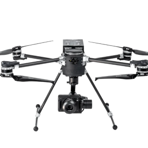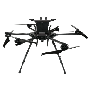
Description
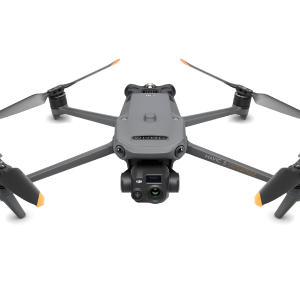
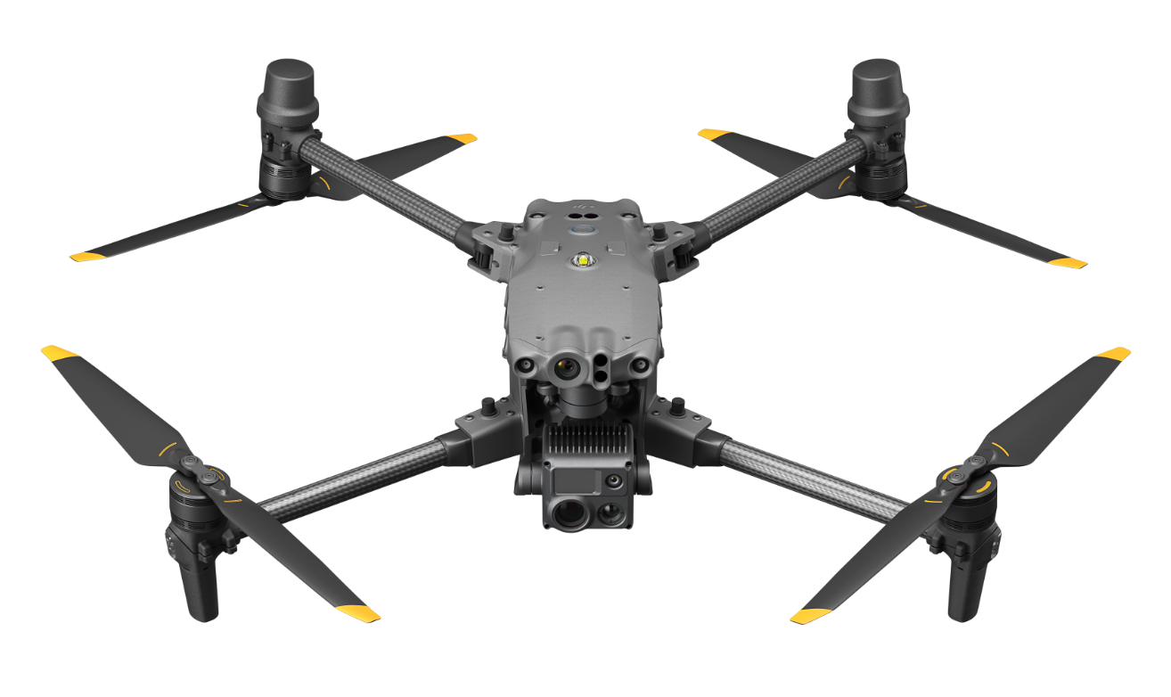
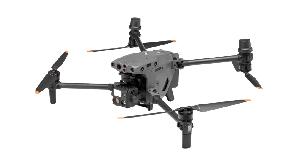
The DJI M30T is a professional-grade drone suitable for use in the energy, inspection, public safety, and search and rescue fields. It is built to perform well under challenging conditions, providing a reliable, versatile, and precise tool for surveying professionals. The drone features notable flight capabilities and sophisticated imaging technology, tailored to meet the specific needs of professional surveying with an effective combination of power and portability.
Key Features
Flight Performance: A maximum flight time of 41 minutes coupled with remarkable wind resistance of up to 15 m/s (33 mph) provide comprehensive coverage of extensive survey areas, even in adverse weather conditions or at high altitudes with a service ceiling of 7000 m.
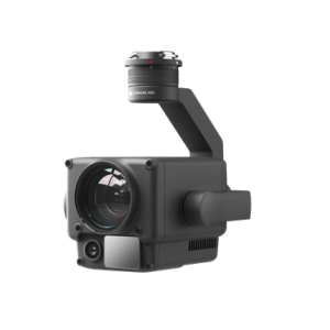
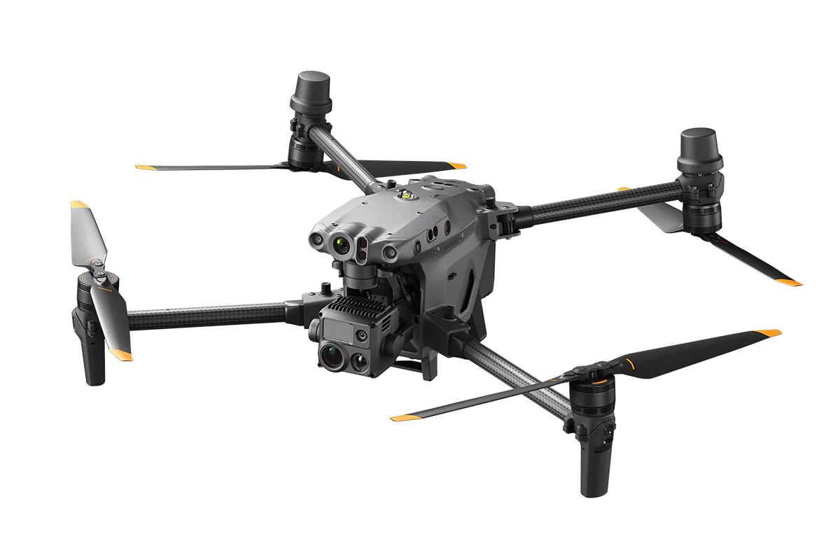
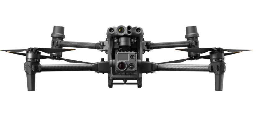
Wide Camera Specifications: The wide camera features a 24 mm equivalent focal length, an 84° DFOV, and a 12 MP 1/2” CMOS sensor, delivering 4K/30fps video resolution. This setup is perfect for capturing broad survey areas with high clarity and detail.
Advanced Zoom Capabilities: The zoom camera boasts a 48 MP 1/2” CMOS sensor with 5x-16x optical zoom and up to 200x max. hybrid zoom. Its 8K photo resolution and 4K/30fps video resolution make it ideal for detailed inspections and high-precision surveying tasks from a safe distance.
Thermal Imaging Proficiency: With a 640×512 resolution and a 30fps frame rate, the thermal imaging camera offers ±2°C or ±2% measurement accuracy. This feature is crucial for conducting thermal surveys, detecting heat signatures, and analyzing environmental conditions.
Laser Rangefinder Accuracy: The laser rangefinder, with a range of 3 m – 1200 m and an accuracy of ±(0.2m+D×0.15%), enhances surveying precision by providing exact distance measurements, essential for mapping, topography, and volumetric calculations.
Exceptional Service Ceiling and Speed: The drone’s 7000 m service ceiling and a maximum speed of 23 m/s enable swift and efficient data collection over large or difficult-to-access areas, significantly improving operational efficiency for surveying projects.